Local Watches / Warnings

Showing posts with label November 2012. Show all posts

Wednesday, November 21, 2012

No Improvement - Georgia Drought Update - November 21 2012

Don't let the cooler weather fool you. Lack of rain in Georgia increases drought coverage and intensity.

Since my last Drought Update November 2 2012 Georgia has remained dry. Here at the homestead in Cataula, GA. I've recorded 0.68 inches of rain since November 1st to date. Since October 1st I have recorded 1.98 inches of rain to date. On October 30th 2012 80.77% of Georgia was experiencing some form of drought. As of November 20th 2012 drought coverage has spread and now 93.07% of Georgia is experiencing drought conditions. Areas of Georgia currently without drought are the Northwest and Southeast corners. Middle and West Central Georgia are the hardest hit with drought and currently experiencing 'Extreme to Exceptional' drought conditions.

Current Drought conditions on right compared to October 30th on left.


Rainfall in Georgia for the last 30 days as of November 21 2012.


Percent of normal rainfall year to November 20 2012


Rainfall needed to bring conditions back to normal [no drought]. Georgia needs anywhere from a Trace upward to 12 inches.


CLIMATE IMPACTS - Georgia

GENERALLY 10 TO 90 PERCENT OF NORMAL RAINFALL PREVAILED OVER NORTH AND CENTRAL GEORGIA DURING THE PAST 14 DAYS.
LOCATION   TOTAL RAINFALL    NORMAL    DEPARTURE     PERCENT
            LAST 365 DAYS    VALUE     FROM NORMAL   OF NORMAL

ATLANTA        37.22         49.73      -12.51         75%
ATHENS         37.22         46.36       -9.14         80%
COLUMBUS       37.54         46.77       -9.23         80%
MACON          32.89         45.72      -12.83         72%

RESERVOIRS/STREAM LEVELS - Georgia as of Nov. 21

CURRENT LAKE LEVELS AT THE USACE PROJECTS WERE MAINLY FROM 1 TO 12 FEET BELOW SEASONAL POOL LEVELS. ALL OF THE LAKE LEVELS ARE PROJECTED TO SLOWLY FALL DURING THE NEXT FOUR WEEKS.
LAKE       SEASONAL POOL  CURRENT LEVEL   DEPARTURE
                                           IN FEET

ALLATOONA       829          828.52         -0.48
CARTERS        1072         1070.13         -1.87
HARTWELL        657          645.83        -11.17
LANIER         1071         1059.28        -11.72
THURMOND        328          315.09        -12.91
WEST POINT      633          622.98        -10.02

U.S. Drought outlook November 15 2012 thru February 28 2013


Sources:

http://droughtmonitor.unl.edu/monitor.html

http://water.weather.gov/precip/

http://www.cpc.ncep.noaa.gov/products/expert_assessment/seasonal_drought.html

http://www.cpc.ncep.noaa.gov/products/predictions/multi_season/13_seasonal_outlooks/color/page2.gif

http://forecast.weather.gov/product.php?site=NWS&issuedby=FFC&product=dgt&format=CI&version=1&glossary=1


Saturday, November 17, 2012

#Tornado in Algarve, #Portugal - video

While the weather is quite in the states, a tornado ripped through Algarve, Portugal. This person filming got lucky that no debris came through their window. I would suggest you not stand at a window with a tornado coming at you. This could have been the last thing they saw. Enjoy!


You can see more videos and pictures of this here - http://www.onweer-online.nl/forum/topic/36577/tornado-treft-algarve-in-portugal-tornado-strikes-/


Sunday, November 4, 2012

Nor'easter will be No Sandy - November 4 2012

The Nor'easter expected to impact areas of the Mid-Atlantic and Northeast this week will be No Sandy. However due to earlier damage caused by Hurricane Sandy in these areas this storm will have a greater impact.

With that said, we can sill expect strong to gusty winds in areas from 40 to 50 mph which will hamper repair of downed power lines. Winds will also be capable of bringing down tress and branches already weakened from Sandy.

'Minor to Moderate coastal flooding' with the high tide around Midday Wednesday looking like the best time for storm surge. With many area beaches and coastal property already having erosion, it is likely this storm will add to this.

'Rain amounts' of up to 4 inches can be expected at this time in and around the areas closer to the coast with lesser amounts inland. Due to flooded areas which at this time have not receded any extra water will cause them to rise, and may also cause areas to flood again.

'Snow will also be a concern' on the backside of the counter clockwise flow around the storm. Areas likely to see snow at this time are inland in PA, NJ and NY maybe even as far south as VA; these areas 'could' see 1 to 4 inches maybe more. I think the New England area 'could' see 8 to 15 inches depending on storm path. Uncertainty remains at this time in this as we are still days away form this storm impacting the northeast and the final path is unknown, whether it will hug the coast or be farther away.


Projected Path of Nor'easter Tuesday November 6 thru Friday November 9 2012


Forecast Rain amounts Nov 4 thru Nov 9


Friday, November 2, 2012

Drought Update: Current and Outlook for Georgia, Southeast, United States - November 2 2012

Drought in Georgia still persists and gained ground during the dry month of October. While drought has yet to relinquish it's hold on areas of North and Central Georgia, it's slowly creeping back into areas of south Georgia. During this time of year folks don't think much about drought conditions as the lush green vegetation is slowly turning brown and going dormant across the state as fall and winter moves in.

The difference a month makes since my last drought update October 6 2012


Drought still remains in Georgia and is gradually once again becoming worse due to lack of rain as area lakes and streams mainly in central Georgia continue to drop and some are at record lows during this time of year.

Rainfall in Georgia and the United States over the last 30 days


CLIMATE IMPACTS - Georgia

GENERALLY ZERO TO 25 PERCENT OF NORMAL RAINFALL PREVAILED OVER NORTH AND CENTRAL GEORGIA DURING THE PAST 14 DAYS.
LOCATION   TOTAL RAINFALL    NORMAL    DEPARTURE     PERCENT
            LAST 365 DAYS    VALUE     FROM NORMAL   OF NORMAL

ATLANTA        36.35         49.76      -13.41         73%
ATHENS         37.30         46.38       -9.08         80%
COLUMBUS       37.20         46.81       -9.61         79%
MACON          32.33         45.74      -13.41         71%
-------------------------------------------------------------------
RESERVOIRS/STREAM LEVELS - Georgia

CURRENT LAKE LEVELS AT THE USACE PROJECTS WERE MAINLY FROM 2 TO 13 FEET BELOW SEASONAL POOL LEVELS. ALL OF THE LAKE LEVELS ARE PROJECTED TO SLOWLY FALL DURING THE NEXT FOUR WEEKS.
LAKE       SEASONAL POOL  CURRENT LEVEL   DEPARTURE
                                           IN FEET

ALLATOONA       832          830.15         -1.85
CARTERS        1073         1071.03         -1.97
HARTWELL        658          645.90        -12.10
LANIER         1071         1061.55         -9.45
THURMOND        329          316.13        -12.87
WEST POINT      634          623.16        -10.84
AVERAGE STREAM LEVELS FOR THE PAST 7 DAYS RANGED FROM AS LOW AS 1 PERCENT ON MUCH OF THE FLINT...OCMULGEE AND OCONEE RIVERS IN CENTRAL GEORGIA...TO AS HIGH AS 65 PERCENT ON THE CHATTAHOOCHEE RIVER IN ATLANTA DUE TO RECENT RAINFALL OR LACK THEREOF.

PLEASE NOTE THAT CREEKS AND SMALLER RIVERS CAN CHANGE QUICKLY DUE TO RUNOFF FROM HEAVY RAIN IF IT OCCURS.


Here's the current drought conditions across the southeast US October 2 thru 30 2012.


Here's the current drought conditions across the United States October 2 thru 30 2012.


Here's the Seasonal Drought Outlook November 1 2012 thru January 31 2013


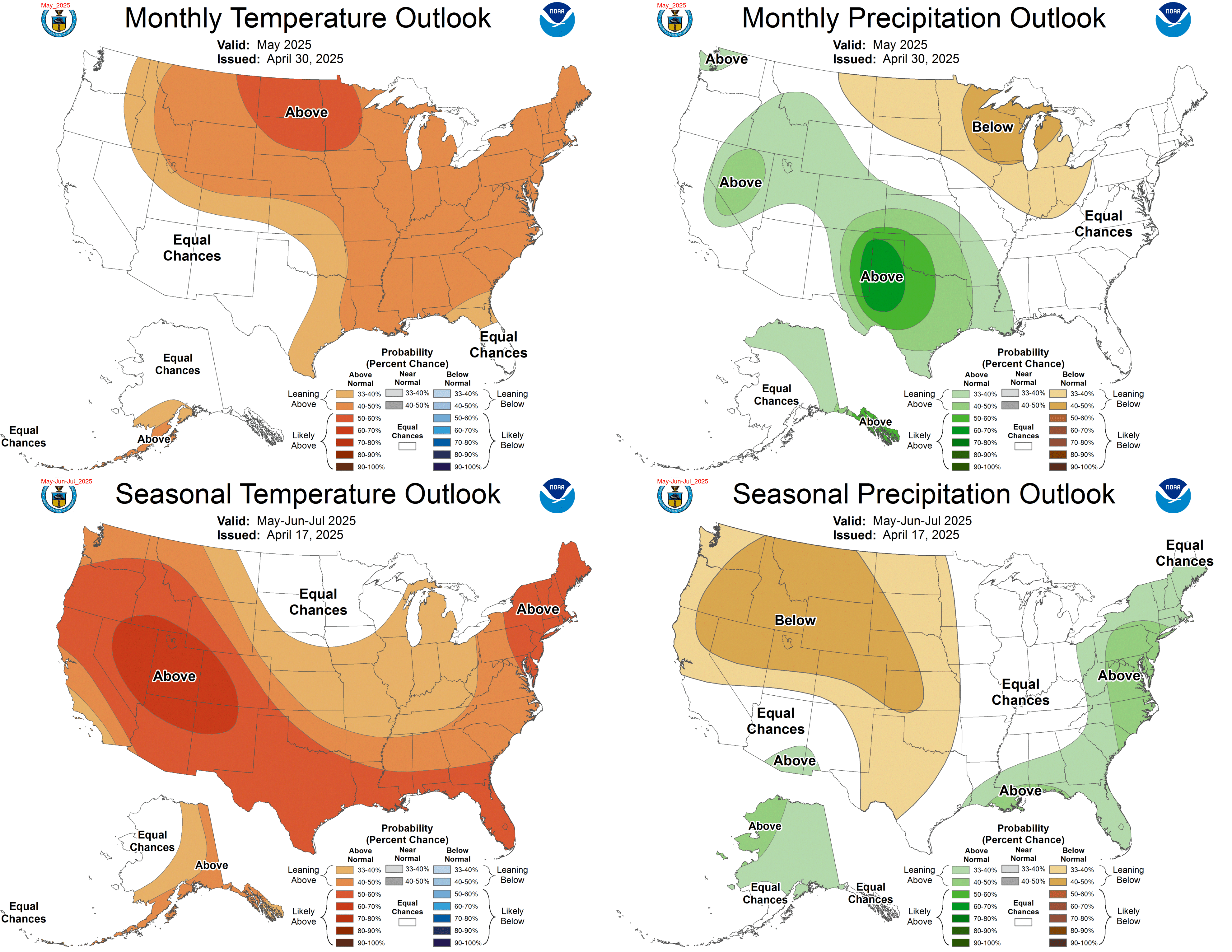
Here's the Outlook for November Rain and Temperatures as well as the three month outlook fro rain and temperature.


Sources:

http://droughtmonitor.unl.edu/monitor.html

http://water.weather.gov/precip/

http://www.cpc.ncep.noaa.gov/products/expert_assessment/seasonal_drought.html

http://www.cpc.ncep.noaa.gov/products/predictions/multi_season/13_seasonal_outlooks/color/page2.gif

http://forecast.weather.gov/product.php?site=NWS&issuedby=FFC&product=dgt&format=CI&version=1&glossary=1


Thursday, November 1, 2012

Early look at 'Possible severe weather' for November 11-13 2012

This is a look ahead to November 11th through the 13th. As you know things in the weather world change on a dime. Should this verify we may see some strong to severe storms in the South & Southeast, Tennessee valley, Middle & Lower Mississippi valley back into the Central & Southern plains. We are entering our Second Severe Weather Season in these areas. I'll keep a watch on modeling in the coming days as we near these dates.

Surface to 500mb Bulk Shear in knots. Here it looks pretty impressive and could support severe weather possible Tornadoes. [denotes the change of wind direction with height a measure of vorticity]


Cross over winds in knots from Surface[red] to 500mb[blue] [winds form different direction that may cause spin]


Temperature at the surface during this possible event shows the contrast ahead of the system vs behind it. Notice the 70's and 80's ahead and the cooler 30' and 40' behind. This is the same setup we deal with in spring as warm and colder air clash.


While dew points are modest approaching the 60's it doesn't take high dew points this time of year to provide more energy for storms. [Dew point is the measure of moisture / fuel in the air so to speak]


Related Posts Plugin for WordPress, Blogger...